Wildfire Response
As wildfires become more frequent and widespread, Google’s AI research and tools help communities respond and stay safe
PREPARED
AI models and satellite imagery can offer early detection
Led by the Earth Fire Alliance in partnership with Muon Space and Google Research, FireSat is a constellation of satellites that when completed will use AI to detect wildfires faster and more accurately, providing real-time insights to support quicker, more effective response.
SAFE
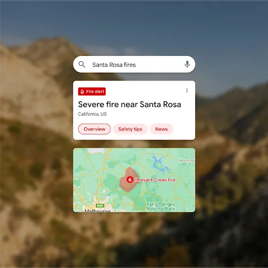
Real-time wildfire boundary tracking
Google uses satellite data from current satellites and AI to map active wildfires on Search and Maps, providing timely updates to support emergency response and public safety.

RESILIENT
Support for communities affected by extreme wildfires
In response to the 2025 Los Angeles wildfires, YouTube, Google, and Google.org committed over $3 million to support relief, tech access, and continued learning for affected communities.